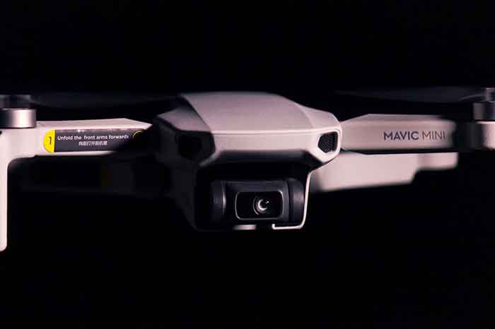
Bamest also provides professional drone services, with innovative aerial solutions across various industries. Our state-of-the-art drone technology and experienced pilots deliver precise, high-quality aerial data, imagery, and services to meet the diverse needs of our clients.
Mission
Our mission is to revolutionise industries by providing cutting-edge drone services that enhance efficiency, safety, and accuracy, while delivering actionable insights and exceptional value to our clients.
Vision
To be the premier drone service provider, recognised globally for our innovation, reliability, and expertise in delivering superior aerial solutions.
Core Values
- Innovation: We continuously explore new technologies and methods to stay at the forefront of the drone industry.
- Safety: We prioritise safety in all operations, ensuring compliance with all regulations and best practices.
- Customer Satisfaction: We are committed to understanding and exceeding the expectations of our clients.
- Integrity: We conduct our business with honesty, transparency, and a strong sense of responsibility.
- Quality: We deliver high-quality results that meet the highest standards of accuracy and precision.
Services Offered
Bamest provides a wide range of drone services tailored to meet the specific needs of different industries:
- Aerial Photography and Videography: Capturing stunning high-resolution images and videos for real estate, marketing, events, and more.
- Surveying and Mapping: Offering precise topographic surveys, 3D mapping, and geographic information system (GIS) data collection.
- Inspection Services: Conducting detailed inspections of infrastructure, such as bridges, power lines, wind turbines, and pipelines, to identify potential issues.
- Agricultural Services: Utilizing drone technology for crop monitoring, precision agriculture, and soil analysis to optimize farming practices.
- Construction Monitoring: Providing real-time aerial monitoring of construction sites, progress tracking, and as-built documentation.
- Search and Rescue: Assisting in search and rescue operations by providing aerial reconnaissance and real-time data in difficult-to-access areas.
- Environmental Monitoring: Offering aerial monitoring of environmental changes, wildlife tracking, and conservation efforts.
